📍 Recent Trail Conditions
Log in to report🥾 Trail Info
🗺️ Trail Map
📈 Elevation Profile
🌤️ 3-Day Forecast
Forecast unavailable for this trail.
San Jacinto Peak via PCT – Pacific Crest Trail
San Jacinto Peak at 10804 feet is one of the most dramatic summit experiences in Southern California, accessed most efficiently via the Palm Springs Aerial Tram, which ascends 8516 feet from the Coachella Valley floor to Mountain Station at 8516 feet in approximately 10 minutes. From Mountain Station, the route follows the PCT and connecting trails through Mount San Jacinto State Wilderness to the summit, gaining an additional 2288 feet over roughly 7.5 miles each way.
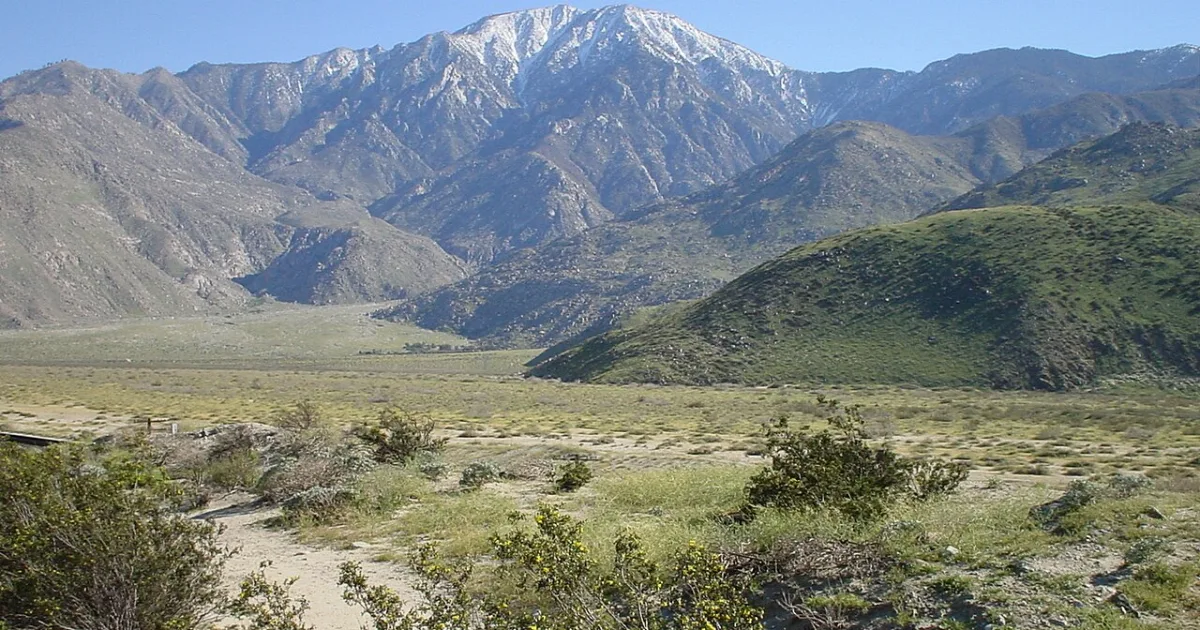
The terrain transitions from the Joshua Tree and cactus landscape visible from the tram car to dense lodgepole pine forest and then exposed granite summit blocks above treeline. The view from the top encompasses the Salton Sea to the southeast, the San Bernardino Mountains to the north, the Santa Rosa Mountains to the south, and on clear days, the Pacific Ocean to the west. The relief from the Coachella Valley floor to the summit, approximately 10000 feet in horizontal distance of just 15 miles, is one of the steepest gradients in the continental United States.
A wilderness permit is required for the state park and is available at Mountain Station on a first-come basis, with a daily quota of 50 day-use permits. The tram operates year-round but the upper wilderness is often snow-covered and inaccessible without ice axes and crampons from November through April. Water is available at Round Valley Camp midway up the route.