📍 Recent Trail Conditions
Log in to report🥾 Trail Info
🗺️ Trail Map
📈 Elevation Profile
🌤️ 3-Day Forecast
Forecast unavailable for this trail.
Sonora Pass Section – Pacific Crest Trail
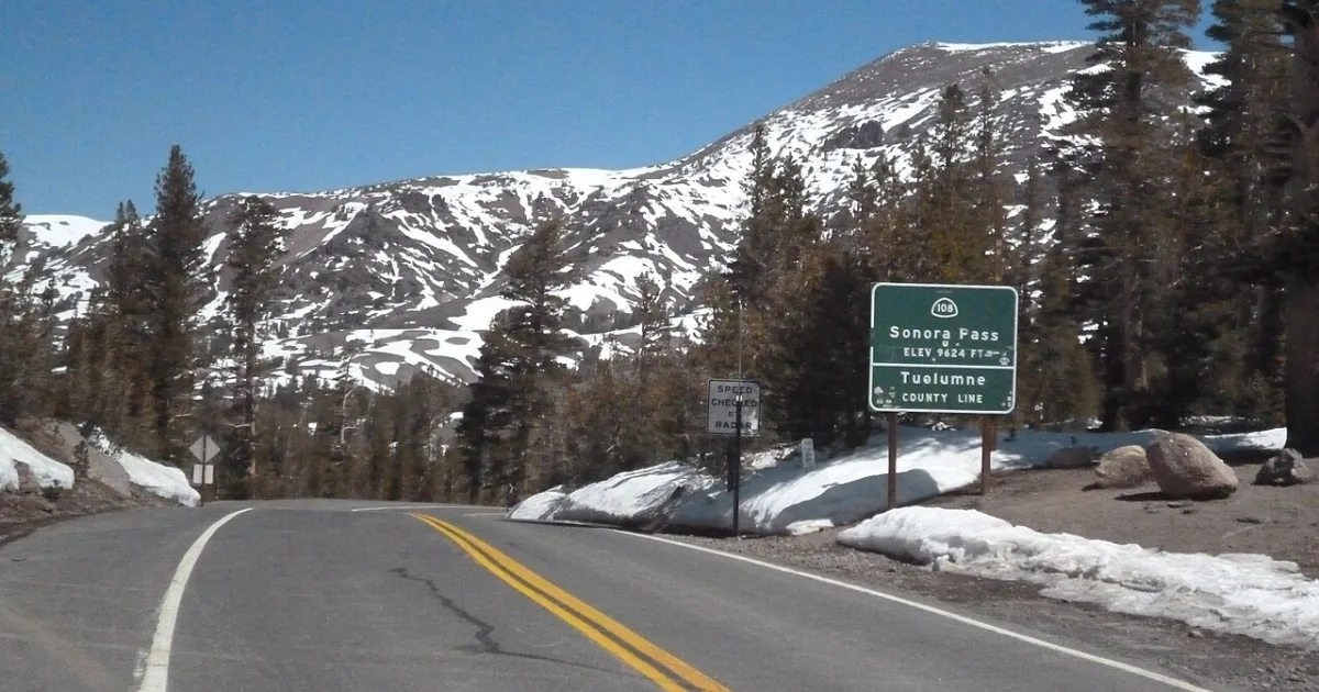
The Sonora Pass section of the Pacific Crest Trail traverses some of the most dramatic volcanic terrain in the Sierra Nevada, departing from Sonora Pass at 9624 feet, the second-highest road pass in California. The PCT from Sonora Pass northward crosses a landscape of dark andesitic and basaltic rock, the remnant of massive volcanic activity that overlaid the underlying granite with layers of lava and ash millions of years ago.
The route follows the PCT northbound along an exposed ridge with continuous views in all directions, passing through meadows and crossing several small streams fed by snowmelt. The volcanic geology creates a strikingly different visual character compared to the polished granite of the Yosemite area to the south. Wildflower displays in July and August are exceptional, including paintbrush, lupine, penstemon, and columbine in the meadow basins just below the ridgeline.
The Emigrant Wilderness and Carson-Iceberg Wilderness adjoin the trail corridor here, providing additional off-trail exploration opportunities. The Sonora Pass trailhead on CA-108 has a small parking area and a self-registration station. No wilderness permit is required for day use, though overnight camping requires one. The road over Sonora Pass typically opens in late May or June depending on snow conditions and closes in November. Wildlife includes marmots, pikas, Clarks nutcrackers, and occasional black bears.