📍 Recent Trail Conditions
Log in to report🥾 Trail Info
🗺️ Trail Map
📈 Elevation Profile
🌤️ 3-Day Forecast
Forecast unavailable for this trail.
Wonderland Trail - Sunrise to Carbon River – Wonderland Trail
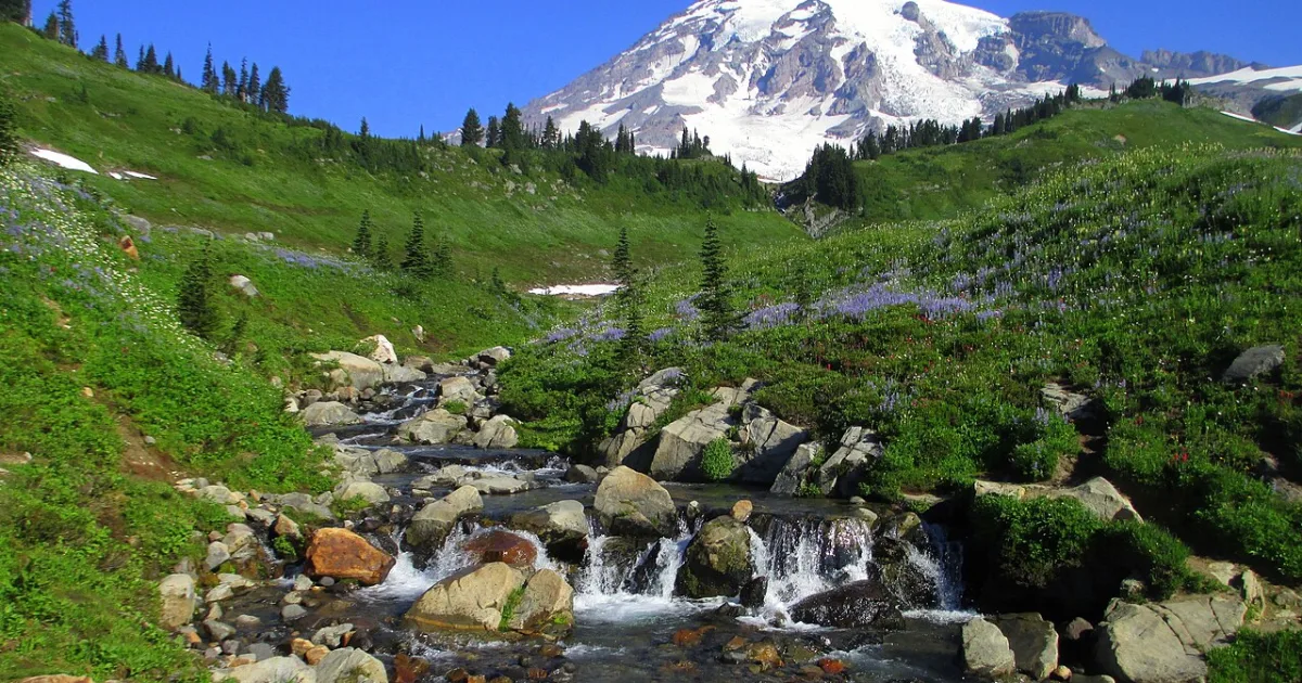
The Sunrise to Carbon River section of the Wonderland Trail traverses the wild north side of Mount Rainier on the most remote and least visited portion of the complete circumnavigation route. Beginning at Sunrise, the highest point reachable by car in the national park at 6,400 feet, the route descends into deep river valleys and climbs back over multiple ridgelines before reaching the temperate rainforest environment of the Carbon River valley far below.
This section passes through dramatically varied ecosystems, from the subalpine meadows and pumice fields near Sunrise to the dense old-growth forest of the Carbon River drainage, one of the only inland temperate rainforests in the continental United States. The Carbon Glacier, the lowest-elevation glacier in the contiguous US, is visible from the trail and the sound of ice cracking and meltwater rushing beneath the glacial surface can be heard from nearby viewpoints. Wildlife includes black bear, mountain goat, black-tailed deer, and marmot. Camp permit reservations through the park are required and fill months in advance for summer dates. The north side of Rainier sees more rainfall and clouds than the southern approaches.