📍 Recent Trail Conditions
Log in to report🥾 Trail Info
🗺️ Trail Map
📈 Elevation Profile
🌤️ 3-Day Forecast
Forecast unavailable for this trail.
Sentinel Dome Trail – Yosemite
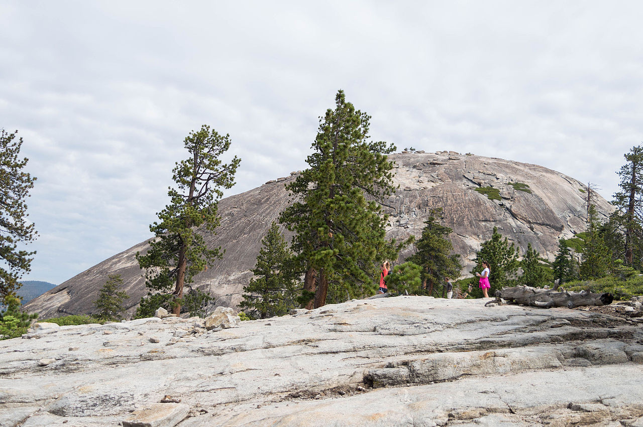
Sentinel Dome at 8,122 feet offers one of the most expansive summit panoramas accessible by a short day hike anywhere in Yosemite National Park. The 1.1-mile trail from the Glacier Point Road trailhead climbs moderately through red fir and mountain hemlock forest before emerging on the bare granite dome's lower slopes and ascending the rounded summit via a well-worn route that requires no technical skill. The summit view is frequently described as a 270-degree panorama: Half Dome rises directly to the northeast at eye level, appearing as a massive freestanding granite block cleaved in half by glaciation; El Capitan dominates the northwest; and the entire High Sierra backcountry extends to the southeast and east, with Mount Lyell (the park's highest peak at 13,114 feet) visible on clear days. For decades, the summit was marked by a Jeffrey pine that became one of the most photographed trees in Sierra Nevada history; the tree died during a prolonged drought in the 1970s and its weathered snag remained a sentinel landmark until it finally fell in 2003. The dome's rounded form is a classic example of exfoliation, where concentric sheets of granite peel away as the rock expands after erosion removes overlying pressure. Photography from the summit at golden hour rivals any location in the park.