📍 Recent Trail Conditions
Log in to report🥾 Trail Info
🗺️ Trail Map
📈 Elevation Profile
🌤️ 3-Day Forecast
Forecast unavailable for this trail.
Mount Fremont Lookout – Mount Rainier
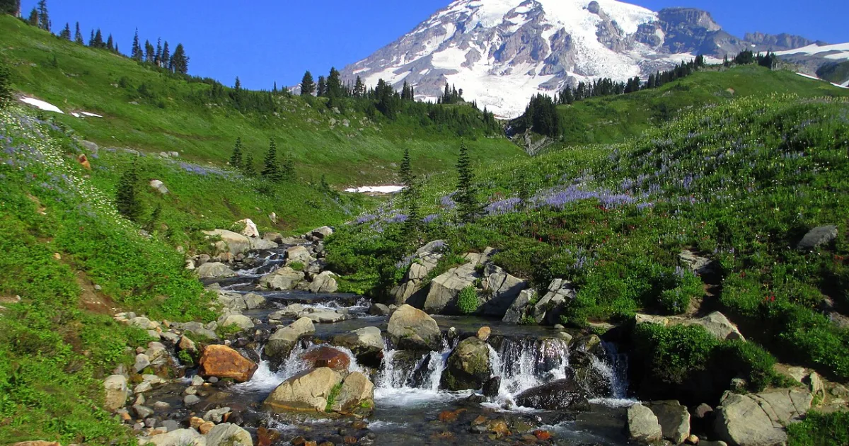
The Mount Fremont Lookout Trail climbs from the Sunrise area, the highest point accessible by road in Mount Rainier National Park, to a beautifully preserved 1934 fire lookout perched at 7,181 feet above sea level on the edge of the Sourdough Ridge. The route traverses open subalpine terrain with continuous close-range views of the Rainier summit and the immense Emmons Glacier, the largest glacier by area in the contiguous United States. Elk herds are frequently spotted grazing in the meadows below Sourdough Ridge, and hoary marmots whistle and sunbathe on virtually every rocky outcrop along the way. The lookout itself is a small, one-room wood-frame structure that was staffed seasonally through the mid-twentieth century to spot forest fires across the Cascades and Olympic Mountains. On clear days the panorama from the summit encompasses the North Cascades, the Olympic Peninsula, and volcanic peaks from Mount Baker to the north to Mount Adams to the south. The trail is straightforward and well-maintained, making it one of the more accessible high-elevation routes in the park despite the significant altitude gain from the Sunrise parking area. Park staff sometimes staff the lookout on summer weekends. The Fremont Lookout hike is universally considered one of the top day hikes in the Sunrise area and one of the best wildlife-watching routes in the park.