📍 Recent Trail Conditions
Log in to report🥾 Trail Info
🗺️ Trail Map
📈 Elevation Profile
🌤️ 3-Day Forecast
Forecast unavailable for this trail.
Badwater Basin Salt Flats Walk – Death Valley
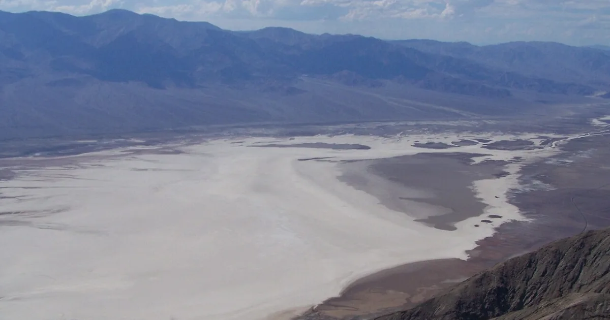
Badwater Basin is the lowest point in North America at 282 feet below sea level, a vast salt flat that stretches nine miles across the floor of Death Valley and produces one of the most otherworldly landscapes on the continent. The walk from the parking area onto the salt flat crosses a wooden boardwalk before transitioning to the salt crust itself, which varies from firm and walkable to soft and crystalline depending on recent moisture. The salt polygons — geometric patterns formed as brine evaporates and salt recrystallizes — create an intricate texture across the flat surface.
On a clear winter morning, the mountains above reflect in thin sheets of brine water that collect on the flat after rain, creating mirror reflections of the Panamint Range that are among the most stunning sights in any US national park. In summer, Badwater Basin is among the hottest places on Earth, with ground surface temperatures exceeding 200 degrees Fahrenheit; the basin should only be visited from October through April. A sign on the cliff above the parking area marks sea level, giving perspective to the depth of the basin below. The walk can be extended as far as desired across the flat; the Badwater salt polygon area approximately a mile out is a rewarding destination with particularly well-formed geometric salt formations.