📍 Recent Trail Conditions
Log in to report🥾 Trail Info
🗺️ Trail Map
📈 Elevation Profile
🌤️ 3-Day Forecast
Forecast unavailable for this trail.
South Taconic Trail – Bash Bish Falls Sp
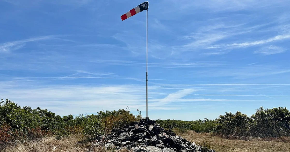
The South Taconic Trail runs along the spine of the Taconic Range directly on the New York–Massachusetts state line, offering some of the finest ridge walking in the southern Berkshires. Beginning near the Bash Bish Falls trailhead, this blue-blazed route climbs steeply through oak and maple forest before breaking onto the open quartzite ridge where pitch pines and blueberry heaths dominate the thin soils. The boundary between the two states is sometimes marked by weathered concrete survey monuments embedded in the bedrock. From the ridge crest, views extend west across the Hudson Valley to the Catskill Mountains and east over the rolling Massachusetts Berkshires, with Mount Greylock visible to the north on clear days. The trail passes the summit of Mount Alander (2,239 feet), where a stone foundation marks the site of a former fire lookout tower. This section of the ridge is particularly rewarding in late May when shadbush and wild azalea bloom along the exposed ledges. The return trip retraces the same route, descending back through the hemlock gorge near Bash Bish Brook. Trail conditions can be rocky and uneven on the ridge; hiking boots with ankle support are recommended.