📍 Recent Trail Conditions
Log in to report🥾 Trail Info
🗺️ Trail Map
📈 Elevation Profile
🌤️ 3-Day Forecast
Forecast unavailable for this trail.
Stonewall Peak Trail – Cuyamaca Rancho Sp
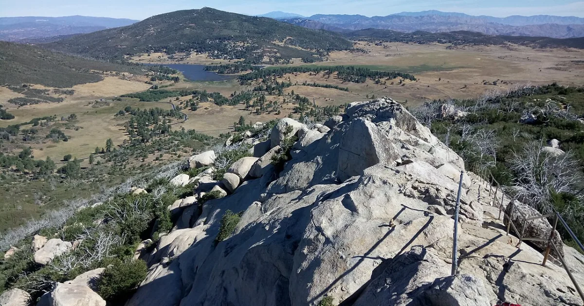
Stonewall Peak Trail climbs to one of San Diego County most distinctive and recognizable summits, a 5,730-foot granite dome whose bare rocky crown towers above the forested mountains of Cuyamaca Rancho State Park. The trail ascends steadily through recovering pine and oak forest, passing through terrain that shows the remarkable resilience of the mountain ecosystem following the devastating Cedar Fire of 2003 that burned through much of the park. Two decades of recovery have transformed burned slopes into a mosaic of young conifer forest, chaparral, and open meadows that support diverse and abundant wildlife. The final approach to Stonewall Peak involves a series of switchbacks and metal railings bolted to the granite face that assist hikers up the steepest rocky sections to the airy summit platform. The 360-degree panorama from the top takes in the full sweep of the Cuyamaca Mountains, the Anza-Borrego Desert stretching east to the horizon, and on clear days the Pacific Ocean glistening to the west. The summit offers one of the finest views in all of Southern California at a relatively modest elevation gain. Mule deer are commonly seen along the lower forested sections of the trail, and acorn woodpeckers are ever-present in the recovering oaks. The trail is accessible year-round though occasional winter snowfall can make the upper rocky sections slippery, requiring traction devices for safe passage.