📍 Recent Trail Conditions
Log in to report🥾 Trail Info
🗺️ Trail Map
📈 Elevation Profile
🌤️ 3-Day Forecast
Forecast unavailable for this trail.
Bulldog Motorway – Malibu Creek Sp
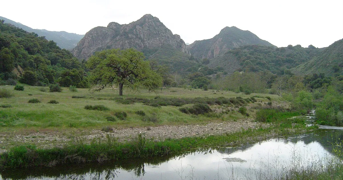
Bulldog Motorway is the most demanding and rewarding hike in Malibu Creek State Park, climbing to the park high point with panoramic views of the Santa Monica Mountains, the San Fernando Valley, and the Pacific Ocean on clear days. The trail begins with a sustained ascent along a wide fire road that gains elevation steadily through chaparral and coastal sage scrub. The upper ridgeline reveals increasingly expansive vistas as hikers approach Castro Peak, the highest point accessible from the park trail system. On exceptionally clear days the view extends from the Channel Islands offshore to the skyscrapers of downtown Los Angeles. The route loops through several distinct vegetation communities, from the riparian corridor near Malibu Creek to the exposed chaparral ridgeline where the full force of Pacific winds can be felt. Mountain bikers also use portions of this route so hikers should be alert on the fire road sections. The descent returns through different terrain, providing variety and new perspectives on the volcanic landscape below. Water sources are nonexistent beyond the trailhead so carry a full supply. This hike is best undertaken in cooler months when temperatures on the exposed ridgeline are manageable. The sheer scale of the Santa Monica Mountains panorama from the upper Bulldog route makes the considerable effort completely worthwhile.