📍 Recent Trail Conditions
Log in to report🥾 Trail Info
🗺️ Trail Map
📈 Elevation Profile
🌤️ 3-Day Forecast
Forecast unavailable for this trail.
Pacific Crest Trail at Burney – Mcarthur Burney Falls
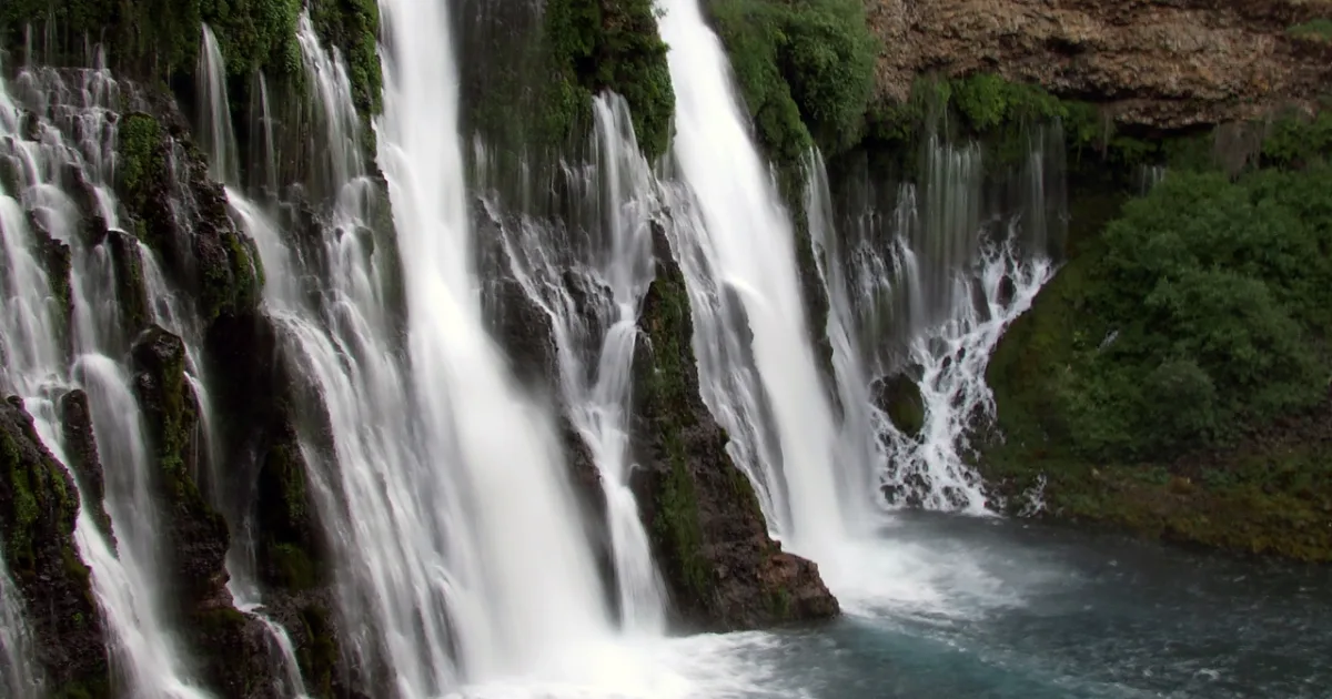
The Pacific Crest Trail segment accessible from McArthur-Burney Falls Memorial State Park offers thru-hikers and day visitors alike a memorable stretch of this legendary 2,650-mile trail through the volcanic highlands of Northern California. Heading northbound from the falls, the PCT climbs out of the Burney Creek canyon through mixed conifer forest of ponderosa pine, white fir, and Douglas fir, eventually reaching open terrain with views of the surrounding volcanic plateau. The landscape here sits on the flanks of the Cascade Range, and the volcanic origins of the region are evident in the porous basalt rock formations and the distinctive spring-fed hydrology that makes Burney Falls so remarkable. Day hikers can follow the PCT northbound for two miles before returning on the same route, experiencing the transition from the lush canyon bottom to the more open forest of the upper watershed. The trail is well-marked and maintained to the high standards of the Pacific Crest Trail Association. Wildlife commonly encountered includes mule deer, black bears, and an impressive variety of forest birds including Steller jays, mountain chickadees, and white-headed woodpeckers. This section of the PCT also passes through terrain that offers seasonal wildflower displays in late spring. Carry water as springs along this day-hiking segment can be unreliable outside the spring season.