📍 Recent Trail Conditions
Log in to report🥾 Trail Info
🗺️ Trail Map
📈 Elevation Profile
🌤️ 3-Day Forecast
Forecast unavailable for this trail.
Long Trail to Summit – Mount Mansfield Sf
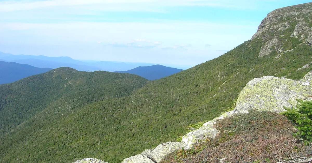
Mount Mansfield at 4,393 feet is the highest point in Vermont, its distinctive ridgeline profile resembling a human face in profile — with named features including the Forehead, Adam's Apple, Nose, Upper Lip, Lower Lip, and Chin — visible from the Champlain Valley 30 miles to the west. The Long Trail approach via the Hellbrook Trail from Underhill State Park is the most direct and challenging ascent route, climbing 2,000 feet in under two miles through boreal forest before reaching the summit ridge. The summit plateau hosts the largest area of alpine tundra in Vermont, a federally designated Research Natural Area encompassing 250 acres of fragile arctic plant communities. Rare alpine species including mountain sandwort, Bigelow's sedge, and mountain avens grow on the wind-scoured summit rocks, their survival dependent on the harsh conditions that prevent tree growth above 4,000 feet. The Long Trail, Vermont's through-hiking route and the inspiration for the Appalachian Trail, traverses the entire 5-mile summit ridge. Lake Champlain and the Adirondack Mountains of New York are visible to the west, while the White Mountains of New Hampshire define the eastern horizon. Summit conditions require wind and cold preparation year-round; temperatures at the summit regularly run 15-20 degrees colder than the valley below, and storms develop rapidly over the exposed ridge.