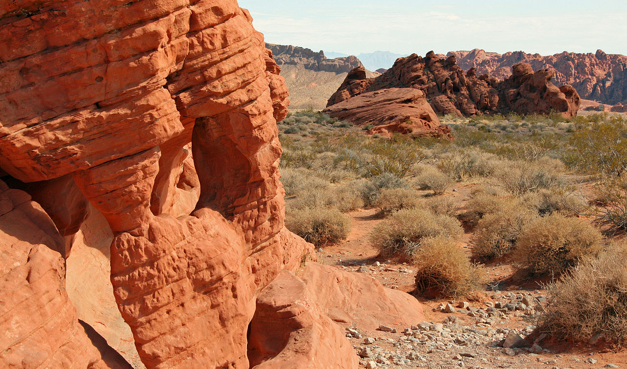
📍 Recent Trail Conditions
Log in to report🥾 Trail Info
🗺️ Trail Map
📈 Elevation Profile
🌤️ 3-Day Forecast
Forecast unavailable for this trail.
Trail Overview
Valley of Fire: Fire Wave Trail — Overton, Nevada is a 1.5 miles-mile out-and-back trail in Valley of Fire State Park, Overton, NV, Nevada, gaining 150 ft feet on a Slickrock, sand surface as an out-and-back route. Typical completion time: 1 hour.
Trail at a Glance
- Distance: 1.5 miles miles · Out-and-back
- Elevation Gain: 150 ft feet
- Difficulty: Easy
- Surface: Slickrock, sand
- Season: October–April
- Time: 1 hour
- Fee: $15/vehicle
- Dogs: No dogs on unpaved trails
- Permit: None
What to Expect
The trail begins in Valley of Fire State Park, Overton, NV and showcases the natural character of Nevada. The Slickrock, sand surface is manageable for most hikers, and the route is clearly marked throughout. At Easy difficulty, this trail rewards the effort with scenery and experiences that define outdoor recreation in Nevada.
The 150 ft-foot elevation change shapes the experience. The ascent builds steadily before the turnaround or loop completion returns you to the trailhead. Stay alert for wildlife and changing weather conditions common to Nevada trails.
Planning Your Visit
Fee: $15/vehicle. Dogs not permitted. Permit required: None. Arrive early on weekends to secure parking. Bring at least 2 liters of water per person and energy-dense snacks. Layered clothing is essential for mountain and high-elevation environments.
What to Pack
- Water: 2+ liters per person
- Navigation: Download the GPX file before heading out
- Sun protection: Sunscreen, hat, sunglasses
- Layers: Wind layer and warm mid-layer
- First aid: Basic kit with blister care
Getting There
The trailhead for Valley of Fire: Fire Wave Trail — Overton, Nevada is located in Valley of Fire State Park, Overton, NV, Nevada. Confirm current conditions with the managing agency before your visit. Download the GPX file for navigation.
Leave No Trace
Stay on the designated trail, pack out all waste including food scraps and pet waste, keep dogs leashed, and respect wildlife by maintaining distance. Your care preserves these trails for future visitors.
Download the GPX File
Free GPX download available on this page. Load it into Garmin, Gaia GPS, AllTrails, or any compatible navigation app before leaving cell service.