📍 Recent Trail Conditions
Log in to report🥾 Trail Info
🗺️ Trail Map
📈 Elevation Profile
🌤️ 3-Day Forecast
Forecast unavailable for this trail.
Rim Rock Trail – Black Canyon Of The Gunnison
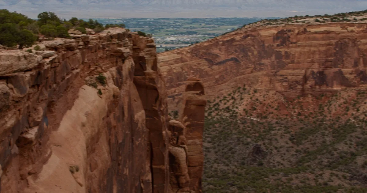
The Rim Rock Trail links the South Rim Campground to the Tomichi Point and Gunnison Point overlooks, threading along the canyon edge through scrubby pinyon-juniper forest with periodic unobstructed views into the black depths. The trail is short and well-maintained, making it the most accessible introduction to the canyon's edge for visitors staying in the campground. Morning light on the dark canyon walls is spectacular — the Precambrian gneiss and schist absorb and reflect light differently than the orange sandstone of other western canyon parks, creating a more dramatic, shadowed atmosphere.
The Gunnison Point overlook at the east end of the trail sits directly above the Painted Wall, whose sweeping pink pegmatite streaks stand out against the dark cliff faces on the opposite canyon wall. The interpretive panel at Gunnison Point explains the geological forces that created the canyon: a combination of the river's gradient, the rock's extreme hardness resisting widening even as it was cut deeper, and the tectonic uplift of the Gunnison Uplift that accelerated the cutting rate. At night, the canyon's depth and the low light pollution at South Rim make this one of the darker skies accessible from a campground in the Colorado Plateau region.