
🥾 Hiking
Burgess Falls Trail
<p>Burgess Falls Trail follows the Falling Water River downstream through Burgess Falls State Park, passing four successive waterfalls before reaching the dramatic 136-foot main falls at the trail ter...
Trail guides, gear reviews, and outdoor stories from RunBikeHike.us
<p>Burgess Falls Trail follows the Falling Water River downstream through Burgess Falls State Park, passing four successive waterfalls before reaching the dramatic 136-foot main falls at the trail ter...

<p>Paw Paw Trail descends to the bottom of the Fall Creek gorge and traverses the gorge floor, crossing the creek on a dramatic cable suspension bridge that sways above the rushing water. This is the ...

<p>Gorge Overlook Trail traverses the rim of the Fall Creek gorge system, visiting overlook points above four separate waterfalls in a single loop. The trail follows the edge of the Cumberland Plateau...

<p>Fall Creek Falls Trail descends into the gorge to reach the base of Fall Creek Falls, at 256 feet the tallest free-falling waterfall east of the Rocky Mountains. The falls plunge from the Cumberlan...

<p>Bear Swamp Trail loops through the wetland and pond complex at Medoc Mountain State Park, visiting active beaver ponds and providing outstanding opportunities for wetland bird observation. The trai...

<p>Stream Loop Trail follows Little Fishing Creek through a lush bottomland forest that represents one of the most diverse ecological zones in Medoc Mountain State Park. The creek corridor supports a ...

<p>Summit Loop Trail reaches the granite summit of Medoc Mountain, a modest but geologically significant monadnock rising above the flat coastal plain of northeastern North Carolina. At just over 300 ...

<p>Piper-Cox Connector winds through the heart of Eno River State Park's piedmont forest, linking trail sections along the Eno River corridor in a route that emphasizes the quiet beauty of mature upla...
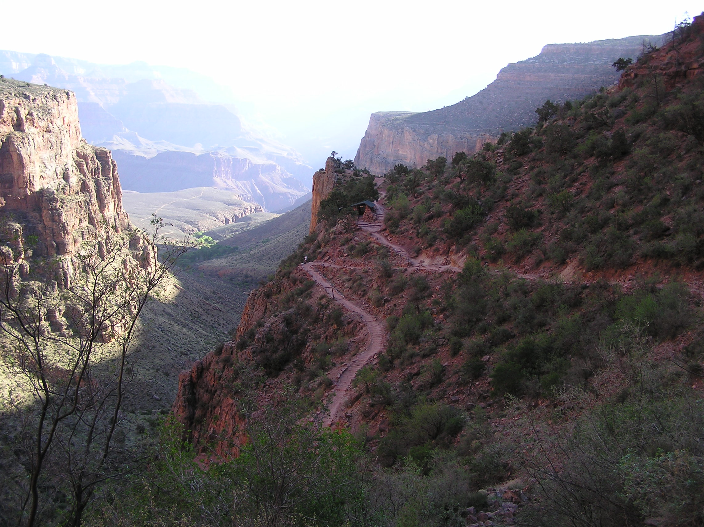
Difficult hiking trail near Grand Canyon Village, AZ. 9.5 mi, 3,000 ft gain, out-and-back on dirt.

Difficult hiking trail near Grand Canyon Village, AZ. 6.4 mi, 4,780 ft gain, out-and-back on rock.

Very Difficult hiking trail near North Rim, AZ. 14.2 mi, 5,760 ft gain, out-and-back on dirt.

Easy hiking trail near Grand Canyon Village, AZ. 13.0 mi, 200 ft gain, point-to-point on paved.
New trail guides, gear picks, and route ideas — delivered free every week.