Tolleston Dunes Trail
3.8 · 100 gain
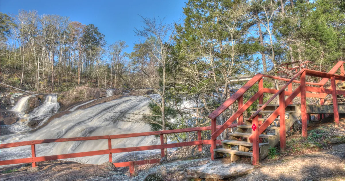
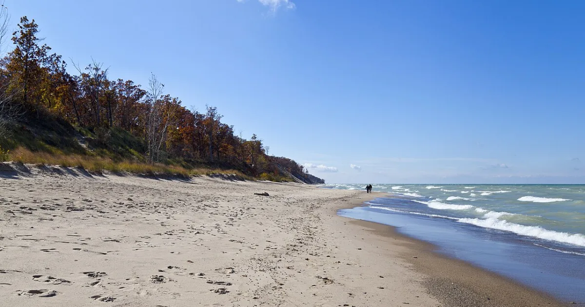
<p>The Tolleston Dunes Trail traverses a landscape shaped by Lake Michigan's ancient shorelines, crossing interdunal wetlands, oak savanna, and stabilized sand dunes that formed thousands of years ago...
Trail guides, day hikes, backpacking routes, and national park adventures across the US.
3.8 · 100 gain
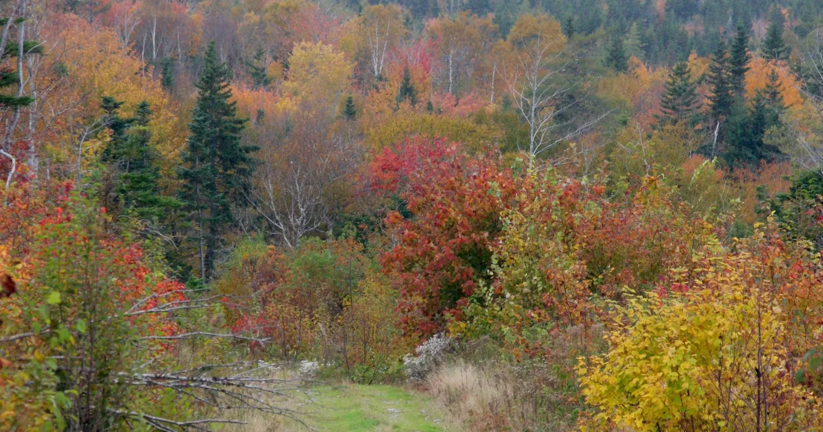
<p>The Tolleston Dunes Trail traverses a landscape shaped by Lake Michigan's ancient shorelines, crossing interdunal wetlands, oak savanna, and stabilized sand dunes that formed thousands of years ago...
1.0 miles · 320 ft gain
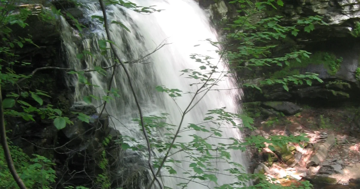
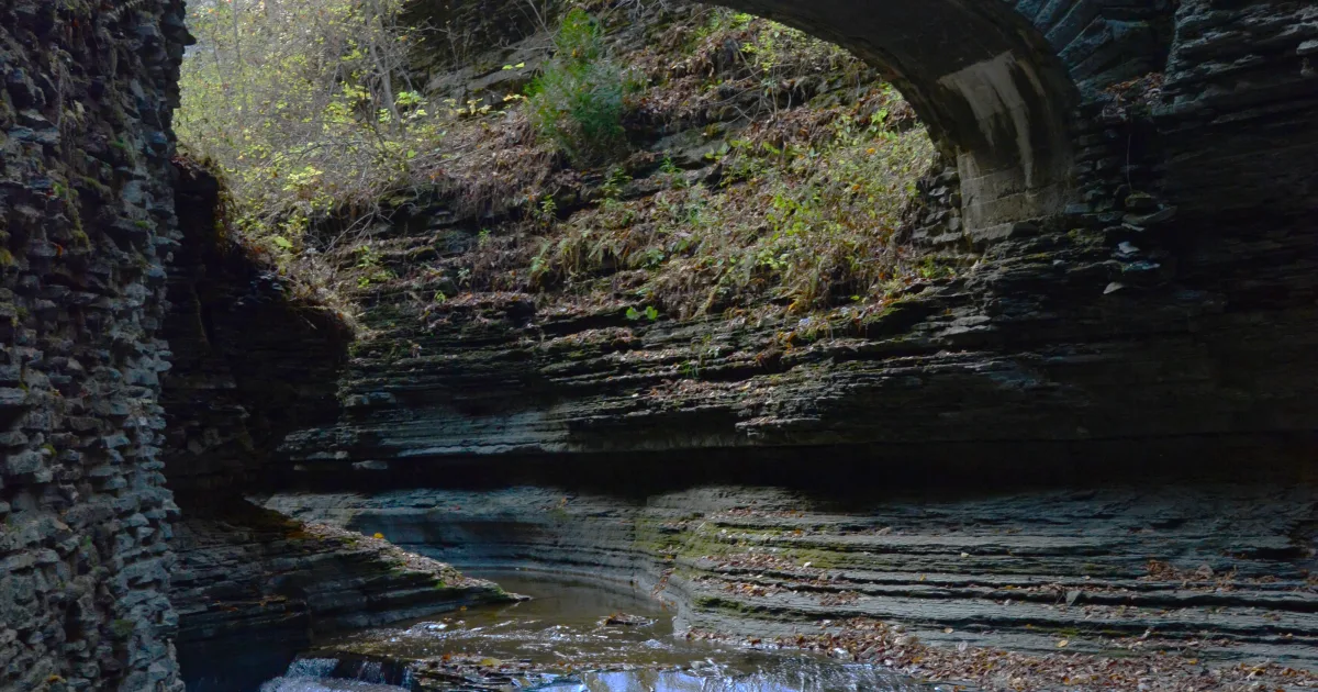
The Falls of Hills Creek trail leads past three stunning waterfalls — 25 feet, 45 feet, and 63 feet tall — through a lush Monongahela National Forest hollow in Pocahontas County.
5.2 miles · 900 ft gain
Rainbow Falls in Gorges State Park drops 150 feet in a thunderous free-fall into the Toxaway River gorge. The 5.2-mile round trip is demanding but unforgettable — the tallest waterfall in Transylvania County.
0.4 miles · 80 ft gain
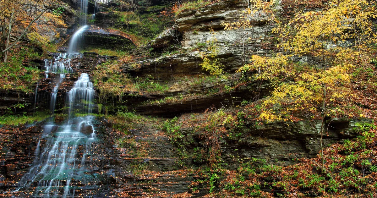
Cathedral Falls drops 60 feet from a sandstone overhang just steps from a roadside pull-off near Gauley Bridge — one of West Virginia's most accessible and dramatic waterfalls.
1.4 ·
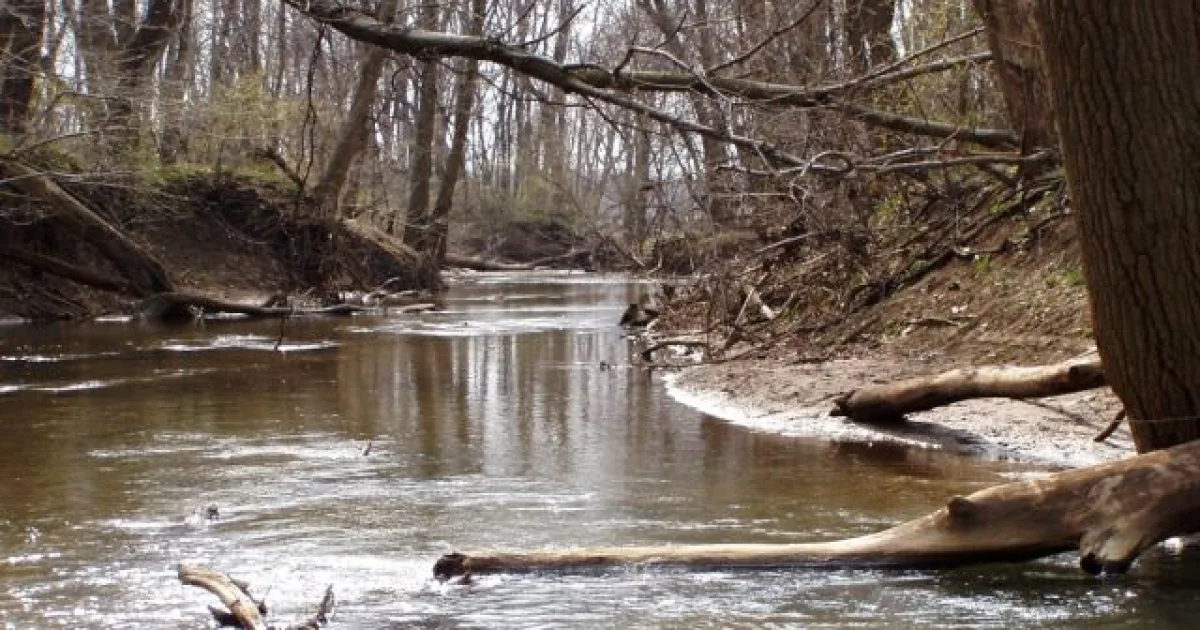
<p>The Heron Rookery Trail winds through one of the finest old-growth forest remnants in the Indiana Dunes, following the Little Calumet River through a cathedral canopy of silver maple, cottonwood, a...
0.8 miles · 120 ft gain
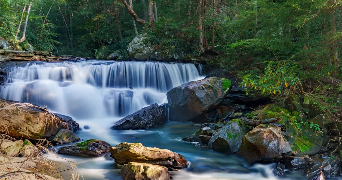
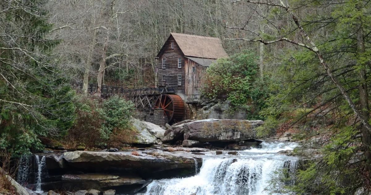
Elakala Falls is actually a series of four cascades tumbling down Shay Run gorge inside Blackwater Falls State Park — a favorite of photographers and a quieter alternative to the main falls.
2.2 miles · 440 ft gain
Glen Falls in Nantahala National Forest descends in three dramatic tiers near Highlands, NC. The steep trail rewards hikers with a stunning sequence of cascades through a wild Blue Ridge gorge.
1.4 miles · 200 ft gain
Blackwater Falls plunges 57 feet over dark ledges into a tannic canyon in Tucker County. A short paved trail leads to the most photographed view in West Virginia.
2.5 · 300 gain
<p>The Gulley Trail meanders through a forested stream gulch on Hot Springs Mountain's lower slopes, following a seasonal watercourse that drains the mountain's novaculite ridgelines through a narrow,...
2.5 miles · 520 ft gain
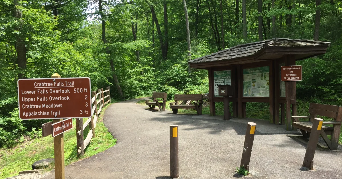
Crabtree Falls plunges 70 feet in a spectacular free-fall off Crabtree Creek near Milepost 339 of the Blue Ridge Parkway. The 2.5-mile loop descends through wildflower meadows and old-growth forest to one of the parkway's best-kept waterfall secrets.
1.5 · 400 gain
<p>The West Mountain Summit Trail climbs to the highest point in Hot Springs National Park, offering panoramic views of the historic Bathhouse Row spa district below and the wooded ridgelines of the O...
4.0 miles · 480 ft gain
At 120 feet, High Falls is the tallest waterfall in DuPont State Recreational Forest and one of the most impressive in western NC. The longer approach via Buck Forest Road rewards hikers with a sequence of smaller cascades along the Little River.
New trail guides, gear picks, and route ideas — delivered free every week.